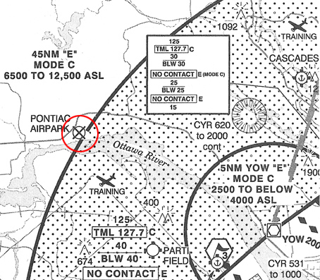
An Automatic Terminal Information Service ATIS can be used by RPA pilots to obtain the following information ? Free > weather
Wind direction runway in use.
The curves that connect the point of equal pressure are the usually drawn at intervals of hPa ?
The curves that connect point of equal pressure are usually drawn at intervals of hpa Wind direction runway in use.
TAFs Terminal Area Forecasts are prepared up to 4 times a day and can be valid to a maximum of ?
Tafs terminal area forecasts are prepared up to 4 times a day and can be valid to a maximum of Wind direction runway in use. Aerodrome forecasts messages tafs use same abbreviations and codes as Wind direction runway in use. Graphic area forecast gfa charts are issued every hours and describe weather conditions below Wind direction runway in use. Which of following not a service provided nav canada Wind direction runway in use. Choose name that describes very large variations in wind speed which can sometimes be caused a line of thunderstorms Wind direction runway in use. 8 Which document pilots should consult in order to obtain informations on icing and turbulence conditions Graphic area forecast charts (gfa). 9 Symbols used in gfa are consistent with those used In a significant weather prognostic chart. 10 Symbol n°1 indicates In a significant weather prognostic chart. 11 Symbol n°2 indicates In a significant weather prognostic chart. 12 Symbol n°3 indicates Freezing rain (fzra). 13 Symbol n°4 indicates Freezing drizzle (fzdz). 14 In following example surface wind forecast to be from West (27 ? true) with a speed of 25 kt a peak gust speed of 35 kt. 15 Symbol n°1 on a significant weather prognostic chart indicates Boundary of an aera of significant cloud. 16 Symbol n°2 on a significant weather prognostic chart indicates Boundary of an area of turbulence. 17 Symbol n°3 on a significant weather prognostic chart indicates Boundary of an area of turbulence. 18 Symbol n°4 on a significant weather prognostic chart indicates Boundary of an area of turbulence. 19 Symbol n°5 on a significant weather prognostic chart indicates Boundary of an area of turbulence. 20 Symbol n°6 on a significant weather prognostic chart indicates Boundary of an area of turbulence. Exclusive rights: Content under private and protected license, reproduction prohibited and prosecuted.